Maryland Historical Magazine, 1906: “Planter’s Paradise” on Middle River

Maryland Historical Magazine
January 1, 1906
Maryland Historical Society.

THE FIRST FOUNDER, SEATER OF BOHEMIA MANOR, ANNO 1661.

I mention the name of Captain Thomas Cornwaleys, the Counsellor of Lord Baltimore, called by Bozman “the guardian genius of the Province,” and by Streeter, “a Host in Himself.”

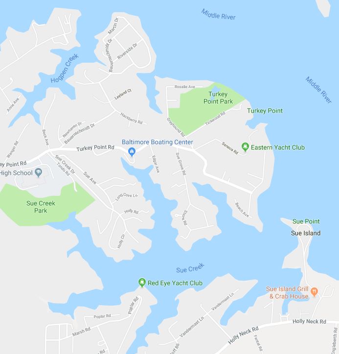
Bringing with him from England a number of servants, he received from Lord Baltimore, in 1642, three thousand acres of land in Cornwaleys’ Neck, St. Mary’s County, and on August 16th, 1658, in Kent County, on the east side of Bacon’s Bay, one thousand acres known as “Cornwaleys’ Choice,” but previously on the 22nd March, 1658, he had received for transporting people from England in 1655, “Planter’s Paradise,” on Middle River Neck, in Baltimore County, containing eight hundred and twentynine acres. Shortly after 1659, he left for England.

The Legislature of 1684, authorized a Port or Town in Middle River on the “land of Cornwaleys or Leakin,” repealed by the Act of 1686.

The same “Planter’s Paradise” was surveyed for “William Cornwaleys of Baltimore County, Gentleman,” on the 29th of November, 1679. This was probably the son of Thomas, the land beginning at the mouth of Cornwaleys Creek. In 1701, we find a conveyance from John Leakin to James Crook of “land named Turkey Neck on Middle River, laid out for Captain Thomas Cornwaleys.”

On November 6th, 1730, Cornwaleys being dead and his heirs in England, “Planter’s Paradise ” was again surveyed and the land escheated by Stansbury, called “Rosse’s Manor,” and patented 26th January, 1749.

I have been thus particular because the residence of this family in Baltimore County has been unknown—a lost history, and that it may induce others to investigate further the biography of one who was a brave soldier, a wise statesman, an unsullied citizen, an honor to any State or to any country!

In 1659, Baltimore County was established. In what county then was ” Planter’s Paradise” on Middle River given to Captain Cornwaleys, in 1658? Did Anne Arundel County, established in 1650, include Baltimore County during the years 1650 and 1659?

We read in the Archives of Maryland, that Captain Thomas Todd was a commissioner of Anne Arundel County in 1661, and a delegate to the Legislature in 1674 from Baltimore County.

The survival of the fittest applies to towns as much as to vegetables and animals. An American progressive city must have room to expand. It must have streams of sufficient fall for manufacturing purposes, and a full supply of pure water, and there must be building material: clay, limestone, sand, granite, iron in abundance.

The restless migratory genius of Baltimore sought these requisites on the Elk River, then on the Bush River, then westward to the Gunpowder, which she twice tried, and at last the divining rod rested on the banks of the Patapsco.


Posted in Uncategorized | Leave a comment

Archives Of Maryland: Back River

ARCHIVES OF MARYLAND
VOLUME XLVI (Assembly Series, Volume 22)

PROCEEDINGS AND ACTS OF THE ASSEMBLY, 1748-51.

BACK RIVER

Back River (also called in early times the North West River) and Middle River were formerly regarded as branches of Gunpowder River. Middle River was the middle branch; Back River the “back” or the north-west branch. Land was formerly continuous, in the shape of a long and narrow point, between the present Rickett’s Point and Spry’s Island, so that the mouth of Gunpowder River lay opposite the mouth of Middle River. Between Hart’s Island (formerly called Hooper’s or Todd’s) and the mainland no thoroughfare existed and the channel between Hart’s Island and Miller’s Island (formerly Bently’s) was probably narrower than it is today.

Entrance to the three rivers was between Spry’s Island and Miller (Bently’s). Island.

No lands were taken up in Back and Middle Elvers until 1658 and none in Gunpowder River proper until the following year.

“Planter’s Paradise” was surveyed for Thomas Cornwallis, Esq., August 28, 1658, “on the west side of Chesapeake Bay on the west side of the north branch of a river in the said Bay called the Back River, the mouth of the said River lying west from the south end of Pools Island.” This land was resurveyed in 1679 for William Cornwallis, being described as situated “on the west side of the north branch of a river called the Back River, the said branch being now called Middle River.” Evidently the present name of Middle River was not known in 1658.* The land in question lies on Middle River, between Sue’s Creek and Norman’s Creek.

“Wells’ Neck” surveyed for Richard Wells Sept. 1st, 1658, is described as situated on the north branch of Back River. This land was resurveyed in 1664 and called “Holly Neck.” The second survey describes it as lying “in Gunpowder River.” It actually lies on Middle River and Back River, between Sue’s Creek, Brown’s Creek and Booby’s Bar.

“The Lodge” surveyed for Patrick Forest, Sept. 3, 1658, is described as lying ” on the north side of a back branch of a river called the Back River.” This land lies on Back River in Brown’s Creek.

“Hooper’s Island” laid out for George Gouldsmith July 30, 1659, on the island now known as Hart Island, is described as lying “on the west side of the (Chesapeake) Bay, making the south point of Gunpowder River.”

This river is called North West River in three early surveys, vizt, “Balliston” and “Dickinson,” both laid out in 1659, and ” The Privilege ” laid out in 1670. In the description of the survey called the manor of “Wiske” alias “Danby,” laid out in 1659, the river is called North East River by mistake for North West River. “Watkins Neck” and ” Thurrells Neck,” both laid out in 1661, and “Walton,” laid out in 1662, are all described as situated on Back River ” within ye mouth of Gunpowder River.”

No further evidence is needed to show that Back River, so called from 1658 or earlier, was regarded formerly as a backwater or back branch of Gunpowder River, with which it had a common mouth.

Posted in Uncategorized | Leave a comment

“Planter’s Paradise”

MARYLAND HISTORICAL MAGAZINE Vol. XIII. MARCH, 1918. No. 1.

It would appear that the larger rivers and the prominent points of land of the head of Chesapeake Bay had been given names by the English prior to the settlement of that part of Maryland. Elk River and North East River are mentioned as early as 1652 (Archives, Liber m, folio 277). We have already observed that Gunpowder River is mentioned by name in 1658, before any lands were laid out on its shores. The Manor of Spesutia Island, which was laid out for Colonel Nathaniel Utie July 25, 1658, is thus described: “an island lying near the western shore of Chesapeake Bay near the head of the said Bay formerly called Beare Point but now Spesutia, beginning at the southmost point at a marked oak and bounding on the east by the bay side 375 perches to a point called Beare Point. “Bear Point still retains its ancient name. Poole’s Island was surveyed under that name for Captain Thomas Morris July 27, 1659; but the name is older than the survey. A tract of land called “Planter’s Paradise” laid out for Thomas Cornwallis, Esq., August 29, 1658, is described as ” a neck of land lying on the west side of Chesapeake Bay and on the west side of the north branch of a river in the said Bay called Back River, the mouth of the said river lying west from the south end of Pools Island ““Planter’s Paradise,” it may be of interest to know, lies on Middle River between Sue’s Creek and Hog Pen Creek, and is the ” land of Cornwallis Mannor” proposed in 1684 by the Delegates for Baltimore County for the site of a town (Archives, Liber xm, folios 26, 86, 112, 139). remained in the Cornwallis family until 1731 (see deed, John Ross, g«nt., and Charles Carroll of Annapolis, surgeon, to Luke Stansbury, “Planter’s Paradise,” Balto. Co. Land Records, Liber T. B. No. A., folio 94). For the site of the manor see Unpatented Certificate 1199, “Paradise Regained,” Tobias Stansbury, 1754. Conquest,” a fort established on Palmer’s Island in the year 1643 (Archives, Liber iv, folio 275; also same, folios 230, 250, 291, 360, 361). Fort Conquest is mentioned as late as 1664 (Archives, Liber m, folio 500). Link

plantersparadise

Posted in Rockaway Beach / Turkey Point | Leave a comment